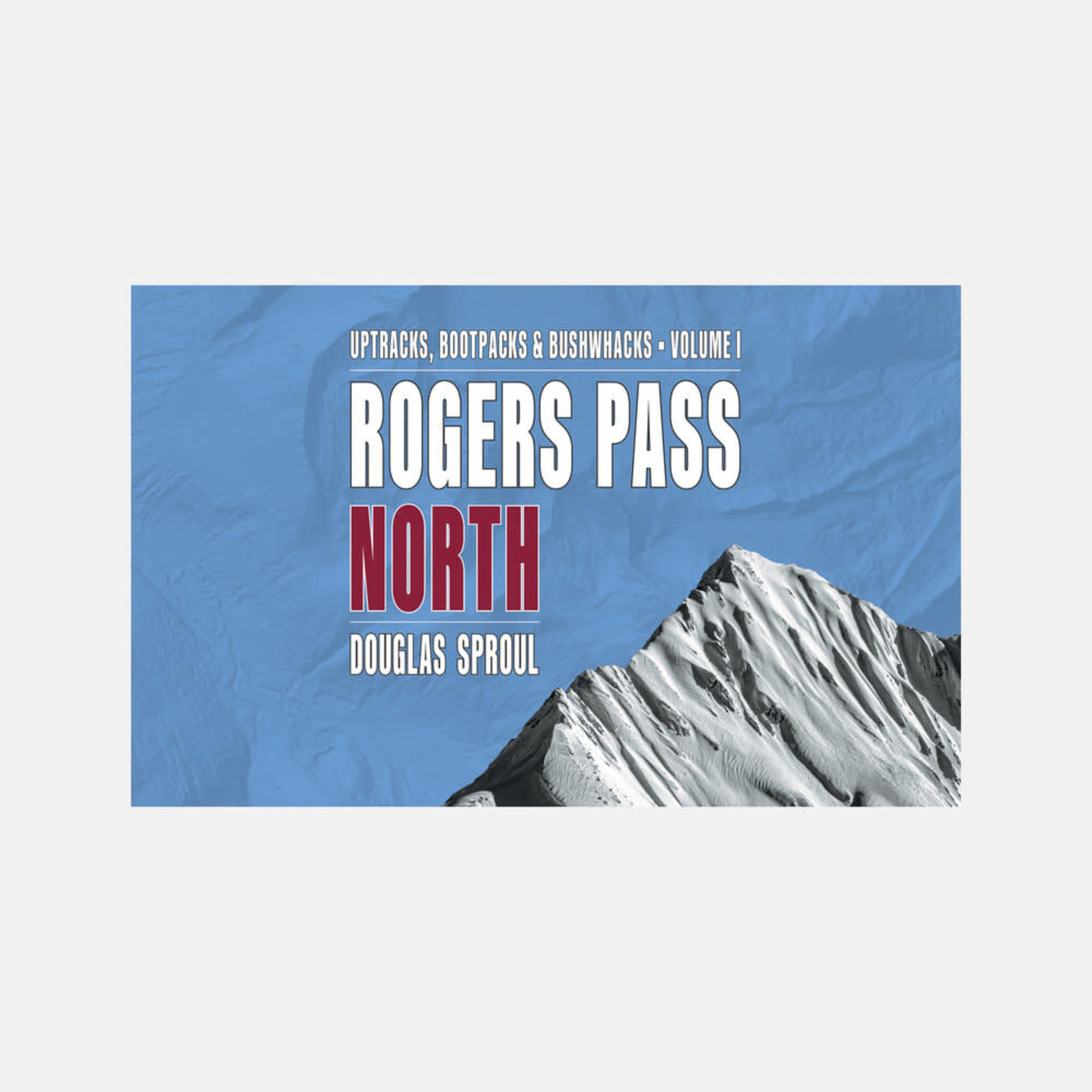
This two-part volume, GeoBackcountry Rogers Pass: North, is the third edition of author and skier Douglas Sproul’s companion guidebooks to backcountry skiing routes in Rogers Pass, complete with maps, illustrations, and full-colour photography. Located in British Columbia’s Selkirk Mountains within Glacier National Park, two distinct areas are covered by each book. North is Volume 1 and south is Volume 2, as geographically divided by the Trans-Canada Highway.
Sproul’s inimitable guide is packed with practical insights gained from his hard-earned knowledge exploring the backcountry with a keen eye and a pair of skis. Each volume is laid out in logical sections, providing readers with invaluable information on everything from terrain, skill level, parking, avalanche safety, park permits, and more.
Featuring
- Wire-O lay-flat binding
- 8.5” x 5.5” landscape format
- Full colour
- 273 routes (both books combined)
- New terrain
- Photo specific sections
- Full page, high-quality, illustrated photos
- Updated route grading
- New custom maps
- New and improved route descriptions
- Local knowledge
- Ski traverses
- Backcountry huts
- GPS coordinates and location info
- Parks Canada trails
- Parks Canada Designated Access Routes
Specs
- Developed in Revelstoke, BC
- Printed in Canada
- 3rd Edition
- Dimensions: 8.5” x 5.5” (landscape)
- Pages: 216
- Release date: May, 2021
- ISBN: 978-0-9937695-6-6
- Regionality: British Columbia
- Language: English
- Ideal for: Backcountry skiing | Ski mountaineering
Mountain photography
Mountain photography is mostly landscape photography which is naturally, best presented in a landscape format. Terrain photography in the new books is a useful blend of aerial and land-based images. This results in a better understanding of the terrain as well as a real-life view as viewed by the skier on the ground.
- Full-page (8.5” x 5.5”) high-resolution photos
- 17” x 5.5” double-page spreads
- Mindfully researched and carefully selected photos from various angles:
- Aerial photos for overview
- Mid-level ground and aerial photos for detailed terrain view
- Low-level ground photos for the approach view