Large selection of products and fast shipping guaranteed with Canpar and UPS services!
- MEN
- WOMEN
- FOOTWEAR
- BACKPACKS
- CLIMB
- HIKE
- ICE CLIMBING
- SKI
- BOOKS + MAPS
- OTHER
- SALE
- Gift cards
- BLOG
Your cart is currently empty
Product image slideshow Items
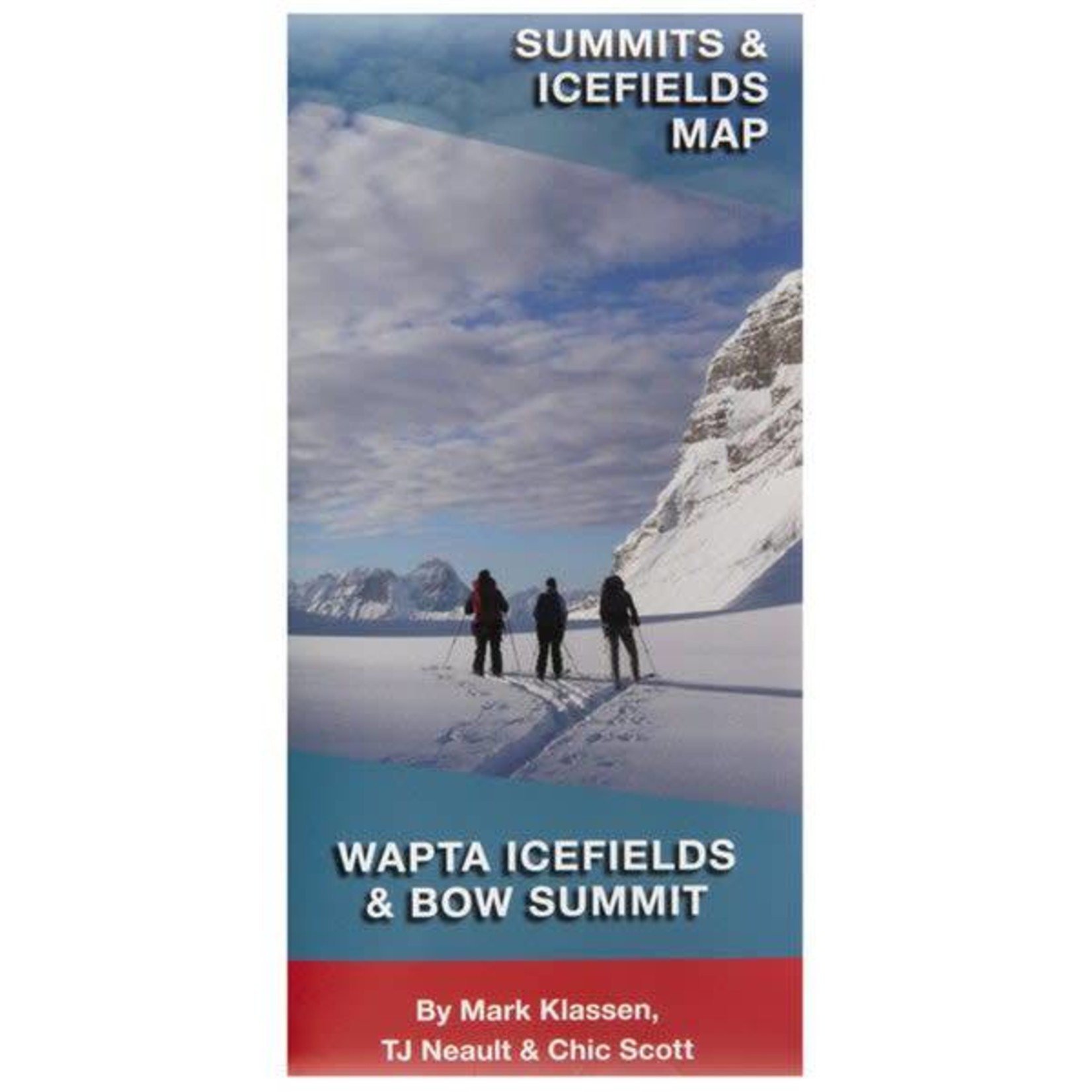
The Wapta Icefield and Bow Summit Map is a marked route map and mini-guide for skiers and climbers traveling to this internationally-renowned destination.
Available in store
CloseThe Wapta Icefield and Bow Summit Map is a marked route map and mini-guide for skiers and climbers traveling to this internationally-renowned destination. The map extends from Mt Patterson in the north to Cathedral Mtn in the south, and from Collie Creek and Amiskwi River in the west to Mt Hector in the east Wapta Icefields Map Wapta Icefields Map
Marked route lines of all corresponding trips mentioned in the Summits and Icefields Volume 1 ski touring guidebook
Some features include:
On the reverse side is the mini-guide:
Product carousel items
