Large selection of products and fast shipping guaranteed with Canpar and UPS services!
- MEN
- WOMEN
- FOOTWEAR
- BACKPACKS
- CLIMB
- HIKE
- ICE CLIMBING
- SKI
- BOOKS + MAPS
- OTHER
- SALE
- Gift cards
- BLOG
Your cart is currently empty
Product image slideshow Items
On the back of the map are descriptions of hiking, biking and cross country ski trails in the area.
Available in store
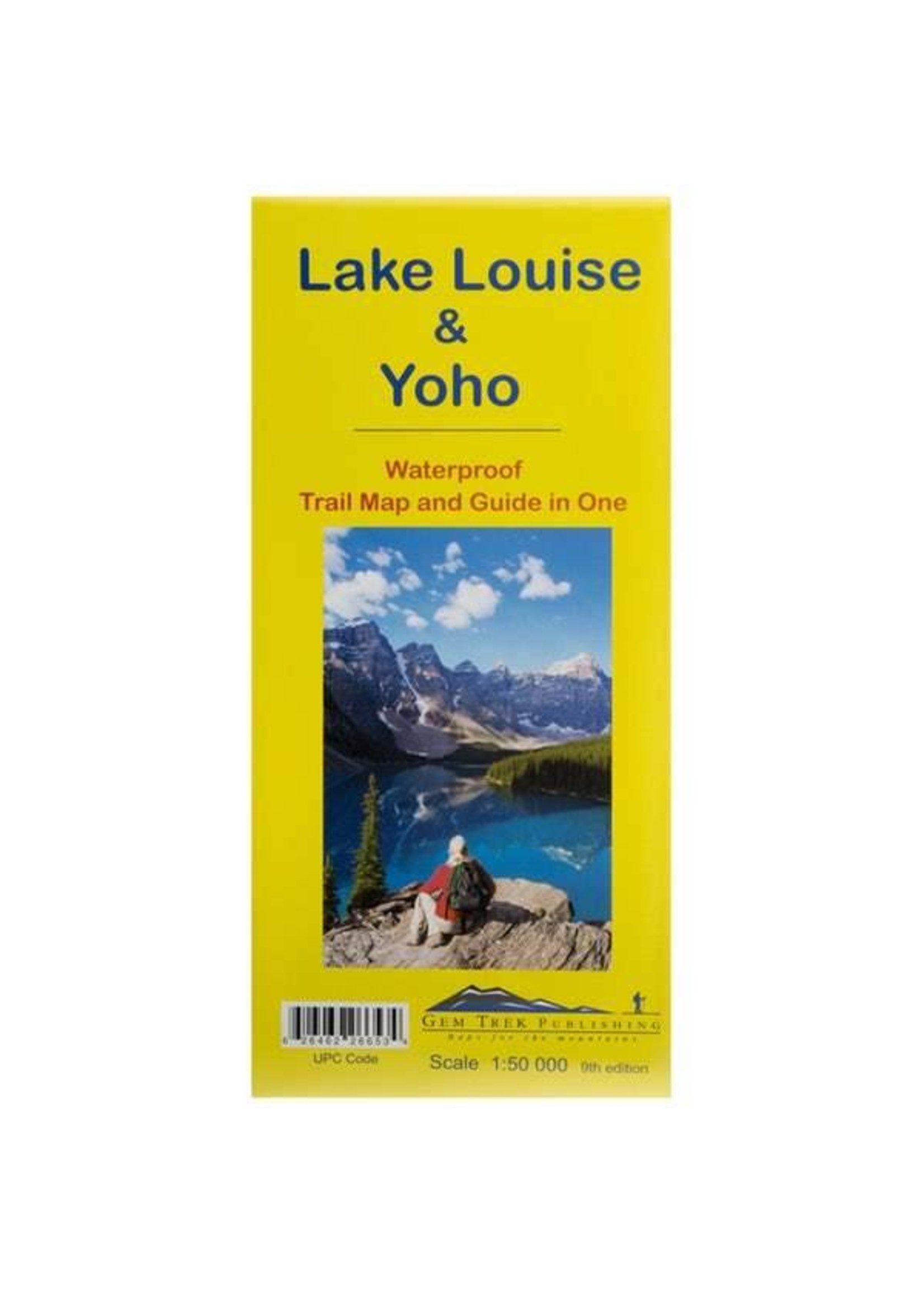
CloseGem Trek’s LAKE LOUISE & YOHO MAP is designed for visitors looking to explore one of North America’s premier day hiking destinations. Whether you are new to hiking or experienced in backcountry travel, you’ll find the waterproof and tear-resistant Lake Louise & Yoho Map to be an invaluable tool.
This map features detailed cartography, accurate hiking trails with distances, and details such as campgrounds, lodges, huts, teahouses, and picnic areas. On the reverse side of the map are photos and trail descriptions of 11 recommended day hikes covered on the main map, ranging from easy lakeshore walks to more demanding hikes into alpine country. Four overnight or multi-day trips are also featured, along with contact information for two backcountry lodges, Skoki Lodge and Twin Falls Chalet.
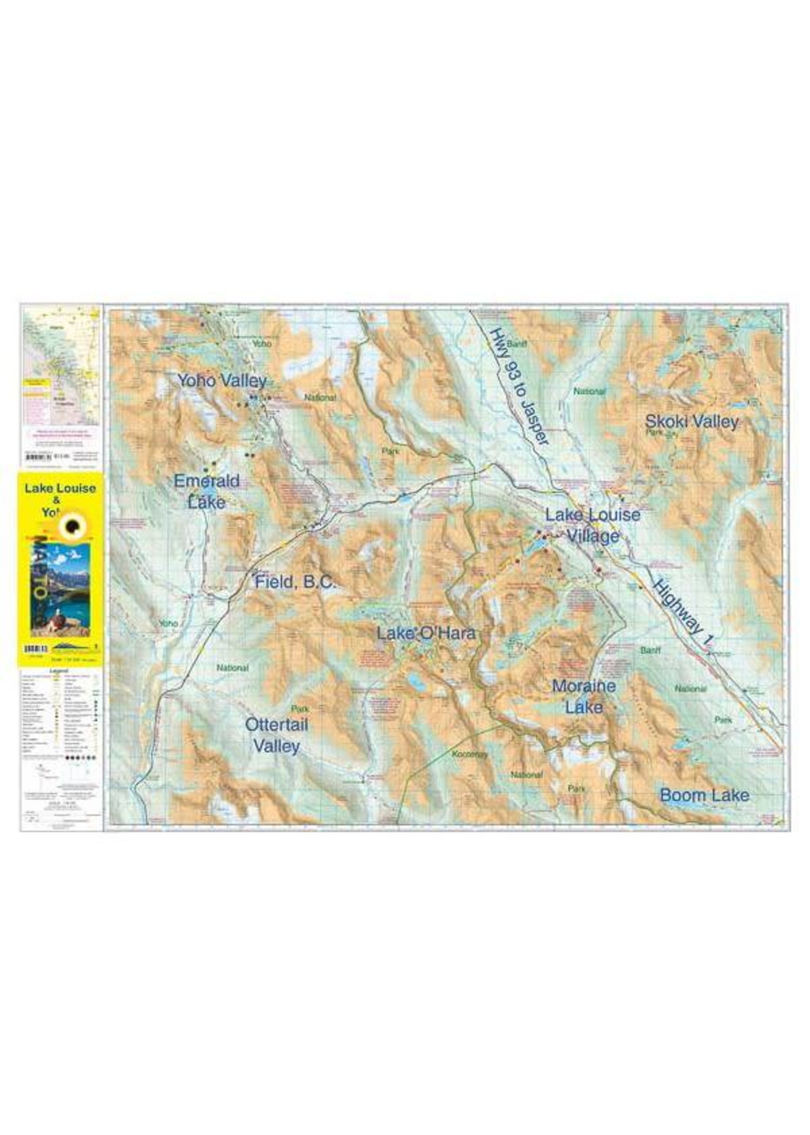
The Lake Louise & Yoho Map centres on Lake Louise, but also includes detailed coverage of the Yoho Valley, Emerald Lake, Lake O’Hara, Paradise Valley, Moraine Lake, and the Skoki Valley.
The most popular hiking trails on the Lake Louise & Yoho map include the two classic “teahouse hikes” to Lake Agnes and Plain of the Six Glaciers, Little Beehive, Big Beehive, Saddleback, Paradise Valley, Larch Valley and Sentinel Pass, Eiffel Lake, Consolation Lakes, and the Skoki Valley. In Yoho National Park, all Lake O’Hara day hikes, Emerald River, Emerald Basin, Wapta Highline, Burgess Pass, The Iceline, Twin Falls, and Sherbrooke Lake are covered.
On the back of the map are two insets at a 1:25,000 scale. The Lake Louise inset increases coverage of adjacent hiking trails, including out to the Plain of the Six Glaciers. The other is dedicated to showing Lake O’Hara in greater detail, including all day hikes radiating from the lake.
The Lake Louise & Yoho Map includes:
Product carousel items
