Large selection of products and fast shipping guaranteed with Canpar and UPS services!
- MEN
- WOMEN
- FOOTWEAR
- BACKPACKS
- CLIMB
- HIKE
- ICE CLIMBING
- SKI
- BOOKS + MAPS
- OTHER
- SALE
- Gift cards
- BLOG
Your cart is currently empty
Product image slideshow Items
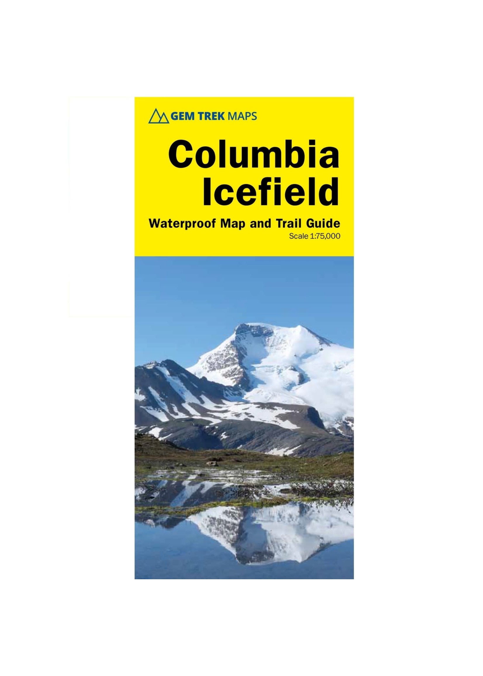

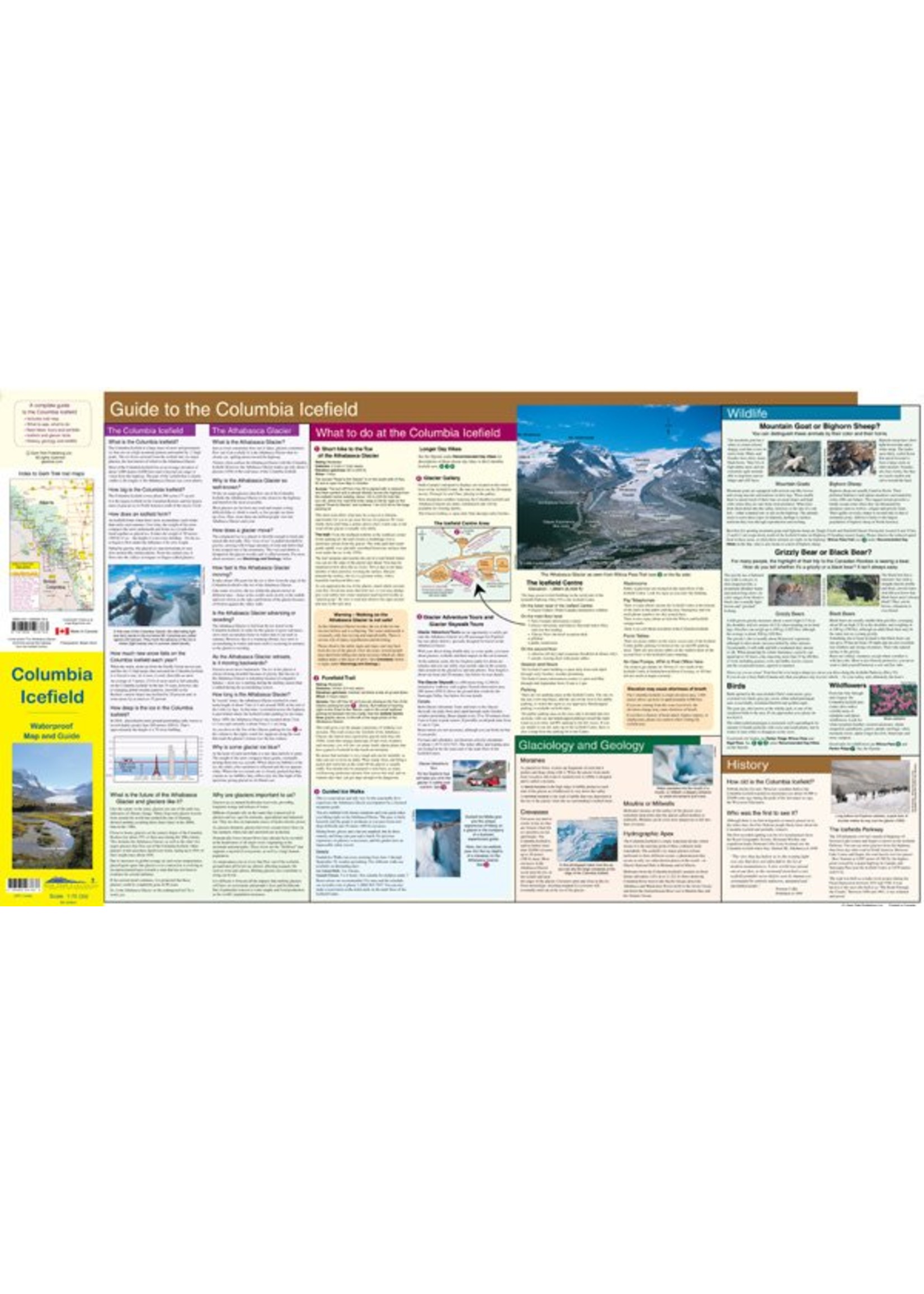
The map combines contour lines with relief shading and covers the Columbia Icefield area, from Sunwapta Peak in the north to Mount Saskatchewan to the south
Available in store
CloseThe map combines contour lines with relief shading and covers the Columbia Icefield area, from Sunwapta Peak and Beauty Creek in Jasper National Park in the north to Mount Saskatchewan in Banff National Park to the south.
Popular trails on the map include Parker Ridge, Wilcox Pass and Nigel Pass. (Only the southern portion of the Brazeau Loop is shown on the map, from Four Point Campground northwest to just north of Jonas Pass, and from Four Point Campground northeast to just north of Wolverine South Campground.)
Product carousel items

